


Compass & Altimeter
توضیحات Compass & Altimeter
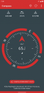
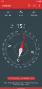
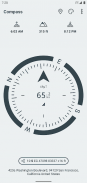
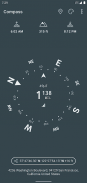
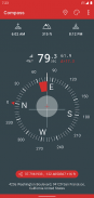
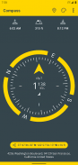
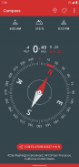
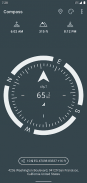
یک قطب نما ساده و آسان برای بازیابی اطلاعات مفید در مورد موقعیت فعلی شما مانند شمال جغرافیایی و ارتفاع واقعی از سطح دریا.
• کاملاً آفلاین و بدون دسترسی به شبکه کار می کند
• شمال جغرافیایی با استفاده از میل مغناطیسی
• ارتفاع واقعی بالاتر از سطح متوسط دریا (AMSL)
• زمان های طلوع و غروب خورشید
• زوایای آزیموت در درجه، درجه، mrad، gon
• شماره گیری های مختلف و تم های رنگی (از جمله کنتراست بالا)
• اندازه گیری زاویه (با شماره گیری از جمله قابلیت های اندازه گیری)
• عملکرد سطح حباب (موجود در شماره گیری آیفون)
• از EGM96 به عنوان مرجع زمینی برای محاسبه ارتفاع استفاده کنید
• طول و عرض جغرافیایی در فرمت های مختصات MGRS، UTM
• طول و عرض جغرافیایی در قالب DD، DMM یا DMS
• سیستم مختصات شبکه ملی بریتانیا (OSGB86).
• SwissGrid (CH1903 / LV95 / MN95)
• قدرت میدان مغناطیسی برای تشخیص اغتشاشات احتمالی
• دقت سنسور
• آدرس مکان فعلی شما (به اتصال داده نیاز دارد)
قطب نما در جایی که اغتشاشات مغناطیسی کم است بهتر کار می کند. قابهای تلفن همراه با بسته شدن مغناطیسی نیز ممکن است دقت قطبنما را مختل کند.
EGM96 (مدل گرانشی زمین) به عنوان مرجع زمینشناسی برای محاسبه ارتفاع واقعی از سطح دریا از دادههای جمعآوریشده توسط حسگر GPS استفاده میشود. UTM (Universal Transverse Mercator) سیستمی برای اختصاص مختصات به مکانهای روی سطح زمین است.
خوش بگذره !
Compass & Altimeter - نسخه 3.8.1
(20-11-2024)Compass & Altimeter - اطلاعات APK
نسخه APK: 3.8.1حزمة: net.androgames.compassآخرین نسخه Compass & Altimeter
سایر نسخهها


اپلیکیشنها در دسته مشابه

شاید دوست داشته باشید...


